Dosiero:Earth Western Hemisphere.jpg
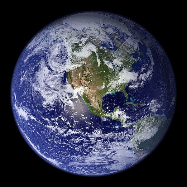
Grandeco de ĉi antaŭvido: 600 × 600 rastrumeroj. Aliaj distingivoj: 240 × 240 rastrumeroj | 480 × 480 rastrumeroj | 768 × 768 rastrumeroj | 1 024 × 1 024 rastrumeroj | 2 048 × 2 048 rastrumeroj.
Bildo en pli alta difino ((2 048 × 2 048 rastrumeroj, grandeco de dosiero: 579 KB, MIME-tipo: image/jpeg))
Dosierhistorio
Alklaku iun daton kaj horon por vidi kiel la dosiero tiam aspektis.
| Dato/Horo | Bildeto | Grandecoj | Uzanto | Komento | |
|---|---|---|---|---|---|
| nun | 03:09, 25 aŭg. 2005 | 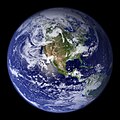 | 2 048 × 2 048 (579 KB) | Tom | {{PD-USGov-NASA}} http://earthobservatory.nasa.gov/Newsroom/BlueMarble/Images/globe_west_2048.jpg Much of the information contained in this image came from a single remote-sensing device-NASA’s Moderate Resolution Imaging Spectroradiometer, or MODIS. |
Dosiera uzado
La jena paĝo ligas al ĉi tiu dosiero:
Suma uzado de la dosiero
La jenaj aliaj vikioj utiligas ĉi tiun dosieron:
- Uzado en af.wikipedia.org
- Uzado en ang.wikipedia.org
- Uzado en ar.wikipedia.org
- العالم
- الأرض
- آسيا
- قارة
- المحيط الهندي
- المحيط الهادئ
- القارة القطبية الجنوبية
- أمريكا الشمالية
- أمريكا الجنوبية
- علم البيئة
- نظام بيئي
- المحيط المتجمد الشمالي
- علوم الأرض
- المحيط الجنوبي
- الصفائح التكتونية
- طبيعة
- محيط (جغرافيا)
- تاريخ الأرض
- حيوم
- أستراليا (قارة)
- تغير أسماء دول آسيا خلال القرن العشرين
- برية
- إفريقيا
- المحيط الأطلسي
- بوابة:المجموعة الشمسية
- تاريخ الأرض الجيولوجي
- العالم من دوننا (كتاب)
- بنية الأرض
- قالب:الأرض الطبيعية
- مستقبل الأرض
- اختلال بيئي
- أرض صلبة
- مركز مراقبة علوم وموارد الأرض
- بوابة:المجموعة الشمسية/قوالب
- تاريخ آسيا الوسطى
- بيئة طبيعية
- مستخدم:Nehaoua/مهامي
- دائرة قطبية
- تضاريس قارة إفريقيا
- الفريق المعني برصد الأرض
- بوابة:محيطات
- بوابة:محيطات/قوالب
- Uzado en arz.wikipedia.org
- Uzado en ast.wikipedia.org
- Uzado en bg.wikipedia.org
Vidi plian ĝeneralan uzadon de ĉi tiu dosiero.


