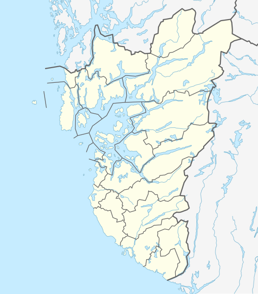
Dosiero:Norway Rogaland adm location map.svg

Bildo en pli alta difino (SVG-dosiero, 778 × 885 rastrumeroj, grandeco de dosiero: 121 KB)
| Jen dosiero de la Wikimedia-Komunejo. La priskribo en ties priskriba paĝo estas montrata suben.
|
Resumo
| Priskribo |
|
||||||||||||
| Dato | |||||||||||||
| Fonto | Own work using: United States National Imagery and Mapping Agency data | ||||||||||||
| Aŭtoro | NordNordWest | ||||||||||||

|
This map has been made or improved in the German Kartenwerkstatt (Map Lab). You can propose maps to improve as well.
|
Permesiloj:
Usage of this file with:

explanatory notes: Legally binding is only the full legalcode. For a free usage I recommend to respect the following licence conditions:
1. Provide my name as given above: NordNordWest,
2. a copy of, or the URI for, the applicable license: https://creativecommons.org/licenses/by-sa/3.0/de/legalcode,
3. the title of the work,
4. in the case of an adaptation, a credit identifying the use of the work in the adaptation.
This license and the rights granted hereunder will terminate automatically upon any breach by you of the terms of this license. Any of the above conditions can be waived if you get permission from the copyright holder. If you have questions or wish differing conditions, please contact me through nnwest or my discussion page ![]() t-online.de
t-online.de
- Vi rajtas:
- kunhavigi – kopii, distribui kaj publikigi la verkon
- aliigi – modifi, adapti, kompletigi, transformi, uzi la tutan verkon aŭ ties partojn, memstare aŭ en aliaj verkoj
- La verko rajtas esti kunhavigata nur:
- atribuite – Vi devas atribui aŭtorecon, liveri ligilon al la permesilo kaj marki ĉu ŝanĝoj estis faritaj. Faru tion en aprobinda maniero, tamen ne sugestante, ke permesinto aprobas vin aŭ vian uzon.
- samkondiĉe – Se vi rekombinas la verkon, transformas ĝin aŭ kreas devenaĵon bazitan sur ĝi, vi rajtas distribui la rezultan verkon nur laŭ la sama aŭ kongrua permesilo kompare kun ĉi tiu.

Dosierhistorio
Alklaku iun daton kaj horon por vidi kiel la dosiero tiam aspektis.
| Dato/Horo | Bildeto | Grandecoj | Uzanto | Komento | |
|---|---|---|---|---|---|
| nun | 02:45, 10 jun. 2020 | | 778 × 885 (121 KB) | Jay1279 | fix Strand-Sandnes border after 2020 boundary change |
| 19:12, 18 jan. 2020 |  | 778 × 885 (114 KB) | NordNordWest | corr | |
| 13:51, 2 jan. 2020 |  | 778 × 885 (114 KB) | NordNordWest | == {{int:filedesc}} == {{Information |description= {{de|1=Positionskarte von {{Wd|Rogaland}}, {{Wd|Norwegen}}}} {{en|1=Location map of {{W|Rogaland}}, {{W|Norway}}}} {{Location map series N |stretching=194 |top=59.9 |bottom=58.2 |left=4.5 |right=7.4 }} |source={{Own using}} United States National Imagery and Mapping Agency data |date=2020-01-02 |author={{U|NordNordWest}} |permission= |other_versions= }} {{Kartenwerkstatt}} == {{int:license-header}} == {{User:NordNordWest/LicenceMap}} [[Cate... |
Dosiera uzado
La jenaj paĝoj ligas al ĉi tiu dosiero:
- Austrumdalsvatnet
- Bjerkreim
- Bokn
- Byrkjelandsvatnet
- Eiavatnet
- Eigersund
- Finnøy
- Forsand
- Frøylandsvatnet (Jæren)
- Frøylandsvatnet (Sandnes)
- Gjesdal
- Grøsfjellvatnet
- Haugesund
- Hjelmeland
- Hofreistæ
- Holmevatnet
- Hovsvatnet
- Hå
- Jæren
- Karmøy
- Klepp
- Kvitsøy
- Lund (Norvegio)
- Randaberg
- Rennesøy
- Rogaland
- Ryfylke
- Sandnes
- Sauda
- Sokndal
- Sola
- Stavanger
- Strand (Norvegio)
- Suldal
- Time (Norvegio)
- Tysvær
- Utsira
- Vindafjord
- Visnes
- Ølen
- Ŝablono:Situo sur mapo Norvegio Rogaland
Suma uzado de la dosiero
La jenaj aliaj vikioj utiligas ĉi tiun dosieron:
- Uzado en de.wikipedia.org
- Rogaland
- Sender Kvitsøy
- Preikestolen
- Lysefjord
- Kjerag
- Ombo
- Hafrsfjord
- Karmsundbrua
- Høgsfjord
- Frafjord
- Blåsjø
- Suldalsvatnet
- Lundevatnet
- Tungenes fyr
- Boknafjord
- Svartavatnet
- Bryne-Stadion
- Vorlage:Positionskarte Norwegen Rogaland
- Viking-Stadion
- Haugesund-Stadion
- Byfjordtunnel
- Siddishallen
- Stavanger Stadion
- Sandnes Idrettspark
- Talgjefjordtunnel/Finnøytunnel
- Mastrafjordtunnel
- Frafjordtunnel
- Eigerøya
- Vibberodden fyr
- Eigerøy fyr
- Eigerøy bru
- Klosterøy
- Majoren
- Sølyst
- Grasholmen
- Grøderøysa
- Vistehola
- Runenstein der Mariakirken
- Runenstein von Indre Bø
- Bautastein von Indre Bø
- Bautasteine von Vestre Goa
- Dødssjødno
- Runenstein von Sele
- Bautasteine von Hogstad
- Felsritzungen von Rudlå
- Bautastein von Meling
- Bautastein von Sømme
- Bautastein von Risa
- Steine von Pallesen-Tomta
- Felsritzungen vom Aubeberget
Vidi plian ĝeneralan uzadon de ĉi tiu dosiero.