Dosiero:Pakistan Khyber Pakhtunwa relief map.svg

Grando de tiu PNG antaŭprezento de tiu SVGa dosiero: 446 × 599 rastrumeroj. Aliaj distingivoj: 179 × 240 rastrumeroj | 357 × 480 rastrumeroj | 572 × 768 rastrumeroj | 762 × 1 024 rastrumeroj | 1 524 × 2 048 rastrumeroj | 859 × 1 154 rastrumeroj.
Bildo en pli alta difino (SVG-dosiero, 859 × 1 154 rastrumeroj, grandeco de dosiero: 1,83 MB)
| Jen dosiero de la Wikimedia-Komunejo. La priskribo en ties priskriba paĝo estas montrata suben.
|
Resumo
| Priskribo |
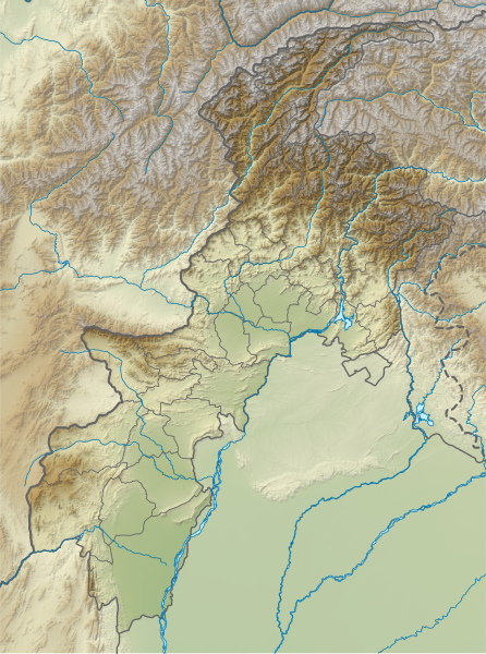
English: Relief map of Khyber Pakhtunwa. Same geolocation parameters as File:Pakistan Khyber Pakhtunkhwa location map.svg. Elevation data from STRM3. |
| Dato | |
| Fonto | File:Pakistan_Khyber_Pakhtunkhwa_location_map.svg |
| Aŭtoro | Own work based on Milenioscuro |
Permesiloj:
Ĉi tiu dosiero disponeblas laŭ la permesilo Krea Komunaĵo Atribuite-Samkondiĉe 4.0 Tutmonda.
- Vi rajtas:
- kunhavigi – kopii, distribui kaj publikigi la verkon
- aliigi – modifi, adapti, kompletigi, transformi, uzi la tutan verkon aŭ ties partojn, memstare aŭ en aliaj verkoj
- La verko rajtas esti kunhavigata nur:
- atribuite – Vi devas atribui aŭtorecon, liveri ligilon al la permesilo kaj marki ĉu ŝanĝoj estis faritaj. Faru tion en aprobinda maniero, tamen ne sugestante, ke permesinto aprobas vin aŭ vian uzon.
- samkondiĉe – Se vi rekombinas la verkon, transformas ĝin aŭ kreas devenaĵon bazitan sur ĝi, vi rajtas distribui la rezultan verkon nur laŭ la sama aŭ kongrua permesilo kompare kun ĉi tiu.
Dosierhistorio
Alklaku iun daton kaj horon por vidi kiel la dosiero tiam aspektis.
| Dato/Horo | Bildeto | Grandecoj | Uzanto | Komento | |
|---|---|---|---|---|---|
| nun | 16:31, 22 apr. 2024 | | 859 × 1 154 (1,83 MB) | GrandEscogriffe | north-south stretching |
| 06:05, 3 okt. 2021 |  | 859 × 954 (1,83 MB) | C1MM | Added more accurate relief | |
| 05:51, 20 apr. 2020 |  | 654 × 841 (1,26 MB) | C1MM | Uploaded a work by Own work based on Milenioscuro from File:Pakistan_Khyber_Pakhtunkhwa_location_map.svg with UploadWizard |
Dosiera uzado
La jenaj paĝoj ligas al ĉi tiu dosiero:
Suma uzado de la dosiero
La jenaj aliaj vikioj utiligas ĉi tiun dosieron:
- Uzado en an.wikipedia.org
- Uzado en de.wikipedia.org
- Tirich Mir
- Tarbela-Talsperre
- Istor-o-Nal
- Naran-Tal
- Lowari-Tunnel
- Karambar-Pass
- Akher Tsagh
- Tirich Mir West IV
- Tirich Mir West III
- Tirich Mir West II
- Saraghrar I
- Koyo Zom
- Buni Zom
- Falak Sher
- Thalo Zom
- Ghochhar Sar
- Karka (Berg)
- Chiantar Sar
- Chiantargletscher
- Udren Zom
- Roshgolgletscher
- Atrakgletscher
- Nobaism Zom
- Oberer Tirichgletscher
- Unterer Tirichgletscher
- Elum Ghar
- Thui I
- Thui II
- Shingeik Zom
- Gul Lasht Zom
- Talsperre Dasu
- Vorlage:Positionskarte Pakistan Khyber Pakhtunkhwa
- Uzado en en.wikipedia.org
Vidi plian ĝeneralan uzadon de ĉi tiu dosiero.