Dosiero:Reliefkarte Appenzell Ausserrhoden blank.png
Grandeco de ĉi antaŭvido: 615 × 599 rastrumeroj. Aliaj distingivoj: 246 × 240 rastrumeroj | 493 × 480 rastrumeroj | 788 × 768 rastrumeroj | 1 093 × 1 065 rastrumeroj.
Bildo en pli alta difino ((1 093 × 1 065 rastrumeroj, grandeco de dosiero: 1,09 MB, MIME-tipo: image/png))
| Jen dosiero de la Wikimedia-Komunejo. La priskribo en ties priskriba paĝo estas montrata suben.
|
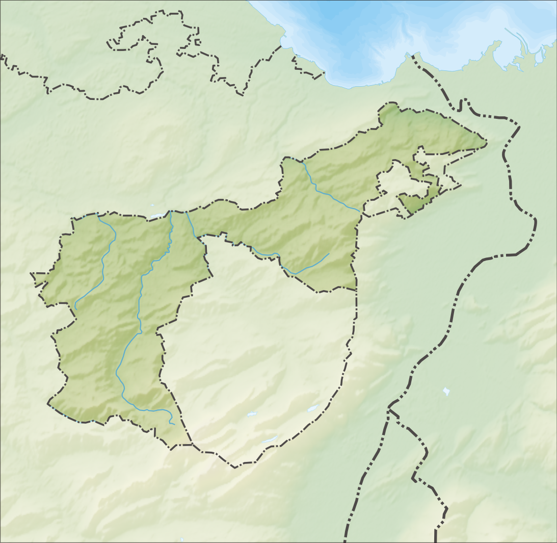
| Priskribo |
Deutsch: Reliefkarte des Kantons Appenzell Ausserrhoden
Topographischer Hintergrund: NASA Shuttle Radar Topography Mission (public domain). SRTM3 v.2. |
||||||||
| Dato | |||||||||
| Fonto | Propra verko | ||||||||
| Aŭtoro | Tschubby | ||||||||
| Permeso (Reuzo de la dosiero) |
Mi, la posedanto de la aŭtorrajto por ĉi tiu verko, ĉi-maniere publikigas ĝin laŭ la jenaj permesiloj:
Ĉi tiu dosiero estas disponebla laŭ la permesiloj Krea Komunaĵo Atribuite-Samkondiĉe 2.5 Ĝenerala, 2.0 Ĝenerala kaj 1.0 Ĝenerala.
Vi povas elekti la permesilon preferatan. |
||||||||
| Ceteraj versioj |
 |

Dosierhistorio
Alklaku iun daton kaj horon por vidi kiel la dosiero tiam aspektis.
| Dato/Horo | Bildeto | Grandecoj | Uzanto | Komento | |
|---|---|---|---|---|---|
| nun | 11:05, 5 dec. 2013 | | 1 093 × 1 065 (1,09 MB) | Tschubby | {{Information |Description= {{de| Reliefkarte des Kantons Appenzell Ausserrhoden}} Topographischer Hintergrund: [http://www2.jpl.nasa.gov/srtm NASA Shuttle Radar Topography Mission] (public domain). SRTM3 v.2. |Source={{own}} |Date= 2013-12-05 |Author=... |
Dosiera uzado
La jenaj paĝoj ligas al ĉi tiu dosiero:
- Bendlehn (stacidomo)
- Bühler (stacidomo)
- Gais (stacidomo)
- Gfeld (stacidomo)
- Hebrig (stacidomo)
- Heiden (stacidomo)
- Herisau (stacidomo)
- Herisau Wilen (stacidomo)
- Lustmühle (stacidomo)
- Niederteufen (stacidomo)
- Rietli (stacidomo)
- Schachen (Gais) (stacidomo)
- Schachen (Herisau) (stacidomo)
- Schwendi bei Heiden (stacidomo)
- Schützengarten (stacidomo)
- Speicher (stacidomo)
- Steigbach (stacidomo)
- Sternen bei Teufen (stacidomo)
- Stoss AR (stacidomo)
- Strahlholz (stacidomo)
- Teufen AR (stacidomo)
- Teufen AR Stofel (stacidomo)
- Trogen (stacidomo)
- Urnäsch (stacidomo)
- Vögelinsegg (stacidomo)
- Waldstatt (stacidomo)
- Walzenhausen (stacidomo)
- Wienacht-Tobel (stacidomo)
- Zweibrücken (stacidomo)
- Zürchersmühle (stacidomo)
- Ŝablono:Situo sur mapo Svislando Apencelo Ekstera
Suma uzado de la dosiero
La jenaj aliaj vikioj utiligas ĉi tiun dosieron:
- Uzado en de.wikipedia.org
- Gäbris
- Schwägalp
- Stoss AR
- Urnäsch (Fluss)
- Liste von Burgen und Schlössern in der Schweiz
- Kaien
- Gupf AR
- Wikipedia:Kartenwerkstatt/Positionskarten/Europa
- Hoher Hirschberg
- Spitzli (Appenzellerland)
- Holzbrücke Hundwil
- Mittelpunkt des Kantons Appenzell Ausserrhoden
- Vorlage:Positionskarte Schweiz Appenzell Ausserrhoden
- Hochalp
- Klinik Am Rosenberg
- Gmündertobelbrücke
- Siphon Sitterstollen
- Benutzer:Tschubby/Reliefkarten
- Wissegg
- Hundwilertobelbrücke
- Hundwilertobelbrücke (1925)
- Alte Hundwilerbrücke
- Steblenbachbrücke
- Rotbachbrücke
- Alte Gmündertobelbrücke
- Rotbachbrücke (1984)
- Uzado en en.wikipedia.org
- Urnäsch
- Herisau
- Schwellbrunn
- Hundwil
- Stein, Appenzell
- Schönengrund
- Waldstatt
- Teufen, Appenzell Ausserrhoden
- Bühler
- Gais
- Speicher, Switzerland
- Trogen, Switzerland
- Rehetobel
- Wald, Appenzell Ausserrhoden
- Grub, Appenzell Ausserrhoden
- Heiden, Switzerland
- Wolfhalden
- Lutzenberg, Switzerland
- Walzenhausen
- Reute
- List of castles and fortresses in Switzerland
Vidi plian ĝeneralan uzadon de ĉi tiu dosiero.