Dosiero:Trinidad and Tobago adm location map.svg

Bildo en pli alta difino (SVG-dosiero, 780 × 756 rastrumeroj, grandeco de dosiero: 36 KB)
| Jen dosiero de la Wikimedia-Komunejo. La priskribo en ties priskriba paĝo estas montrata suben.
|
Resumo
| Priskribo |
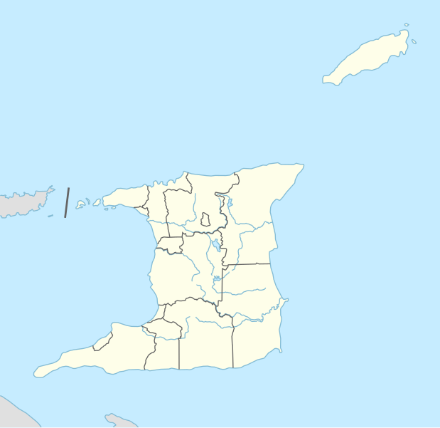
Deutsch: Positionskarte von Trinidad und Tobago
English: Location map of Trinidad and Tobago
|
||||||||||||
| Dato | |||||||||||||
| Fonto |
Own work using:
|
||||||||||||
| Aŭtoro | NordNordWest | ||||||||||||
| Ceteraj versioj |
|
||||||||||||


|
This map has been made or improved in the German Kartenwerkstatt (Map Lab). You can propose maps to improve as well.
|
Permesiloj:
Usage of this file with:

explanatory notes: Legally binding is only the full legalcode. For a free usage I recommend to respect the following licence conditions:
1. Provide my name as given above: NordNordWest,
2. a copy of, or the URI for, the applicable license: https://creativecommons.org/licenses/by-sa/3.0/de/legalcode,
3. the title of the work,
4. in the case of an adaptation, a credit identifying the use of the work in the adaptation.
This license and the rights granted hereunder will terminate automatically upon any breach by you of the terms of this license. Any of the above conditions can be waived if you get permission from the copyright holder. If you have questions or wish differing conditions, please contact me through nnwest or my discussion page ![]() t-online.de
t-online.de
- Vi rajtas:
- kunhavigi – kopii, distribui kaj publikigi la verkon
- aliigi – modifi, adapti, kompletigi, transformi, uzi la tutan verkon aŭ ties partojn, memstare aŭ en aliaj verkoj
- La verko rajtas esti kunhavigata nur:
- atribuite – Vi devas atribui aŭtorecon, liveri ligilon al la permesilo kaj marki ĉu ŝanĝoj estis faritaj. Faru tion en aprobinda maniero, tamen ne sugestante, ke permesinto aprobas vin aŭ vian uzon.
- samkondiĉe – Se vi rekombinas la verkon, transformas ĝin aŭ kreas devenaĵon bazitan sur ĝi, vi rajtas distribui la rezultan verkon nur laŭ la sama aŭ kongrua permesilo kompare kun ĉi tiu.

Dosierhistorio
Alklaku iun daton kaj horon por vidi kiel la dosiero tiam aspektis.
| Dato/Horo | Bildeto | Grandecoj | Uzanto | Komento | |
|---|---|---|---|---|---|
| nun | 20:31, 27 jan. 2016 | | 780 × 756 (36 KB) | NordNordWest | == {{int:filedesc}} == {{Information |Description= {{de|1=Positionskarte von Trinidad und Tobago}} {{en|1=Location map of Trinidad and Tobago}} {{Location map series N |stretching=– |top=11.45 |bottom=9.85 |left=-62.05 |right=-60.4 }} |Source={{Own u... |
Dosiera uzado
La jenaj paĝoj ligas al ĉi tiu dosiero:
Suma uzado de la dosiero
La jenaj aliaj vikioj utiligas ĉi tiun dosieron:
- Uzado en als.wikipedia.org
- Uzado en an.wikipedia.org
- Uzado en ast.wikipedia.org
- Uzado en az.wikipedia.org
- Uzado en bn.wikipedia.org
- Uzado en de.wikipedia.org
- Port of Spain
- Canaan (Trinidad und Tobago)
- Diego Martin
- Flughafen Piarco
- A. N. R. Robinson International Airport
- Point Fortin
- San Fernando (Trinidad und Tobago)
- U-17-Fußball-Weltmeisterschaft 2001
- Vorlage:Positionskarte Trinidad und Tobago
- Black Rock (Trinidad und Tobago)
- Wikipedia:Kartenwerkstatt/Positionskarten/Nordamerika
- U-17-Fußball-Weltmeisterschaft der Frauen 2010
- Hasely Crawford Stadium
- Dwight Yorke Stadium
- Ato Boldon Stadium
- Larry Gomes Stadium
- Manny Ramjohn Stadium
- Crown Point (Trinidad und Tobago)
- Roxborough (Trinidad und Tobago)
- Castara
- Charlotteville (Trinidad und Tobago)
- Arima (Trinidad und Tobago)
- Marvin Lee Stadium
- Princes Town (Trinidad und Tobago)
- Blanchisseuse
- Chaguaramas (Trinidad und Tobago)
- Tunapuna
- Saint James (Port of Spain)
- St. Augustine (Trinidad und Tobago)
- Curepe
- Chaguanas
- Morvant
- Siparia (Trinidad und Tobago)
- Belmont (Port of Spain)
- Valsayn
- Fyzabad
- Laventille
- San Juan (Trinidad und Tobago)
- Benutzer:TaxonBot/Spielwiese
Vidi plian ĝeneralan uzadon de ĉi tiu dosiero.