Dosiero:Locator map of Schüttorf in the county of Bentheim.png
Jen estas la maksimuma distingivo de la supra bildo.
Locator_map_of_Schüttorf_in_the_county_of_Bentheim.png ((439 × 490 rastrumeroj, grandeco de dosiero: 17 KB, MIME-tipo: image/png))
| Jen dosiero de la Wikimedia-Komunejo. La priskribo en ties priskriba paĝo estas montrata suben.
|
Resumo
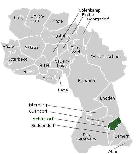
Deutsch:
- Beschreibung: Lage von Schüttorf in der Grafschaft Bentheim
- Quelle: http://wiki.genealogy.net/wiki/Bild:Lage_Orte_Kreis_Bad_Bentheim_Niedersachsen.png, dann in The Gimp bearbeitet, Originalautor: K.-P. Wessel, Bearbeitet von Ixitixel
- Datum: 29. November 2005
English:
- Description: Location of Schüttorf in the County of Bentheim
- Source: http://wiki.genealogy.net/wiki/Bild:Lage_Orte_Kreis_Bad_Bentheim_Niedersachsen.png, then modified with The Gimp, Originalauthor: K.-P. Wessel, Modified by Ixitixel
- Date: 29. November 2005
Permesiloj:
This file is in the public domain because the originalimage tagged as PD here all changes are PD-self
|
Dosierhistorio
Alklaku iun daton kaj horon por vidi kiel la dosiero tiam aspektis.
| Dato/Horo | Bildeto | Grandecoj | Uzanto | Komento | |
|---|---|---|---|---|---|
| nun | 12:31, 29 nov. 2005 | | 439 × 490 (17 KB) | Ixitixel | New Town Names |
| 12:13, 29 nov. 2005 |  | 439 × 490 (15 KB) | Ixitixel | {{deutsch}} Beschreibung: Lage von Schüttorf in der Grafschaft Bentheim Quelle: http://wiki.genealogy.net/wiki/Bild:Lage_Orte_Kreis_Bad_Bentheim_Niedersachsen.png, dann in The Gimp bearbeitet, Originalautor: [http://wiki.genealogy.net/wiki/Benutzer:Kpwes |
Dosiera uzado
La jena paĝo ligas al ĉi tiu dosiero:
Suma uzado de la dosiero
La jenaj aliaj vikioj utiligas ĉi tiun dosieron: