Dosiero:The Ship Keyingham.jpg
The_Ship_Keyingham.jpg ((640 × 474 rastrumeroj, grandeco de dosiero: 81 KB, MIME-tipo: image/jpeg))
| Jen dosiero de la Wikimedia-Komunejo. La priskribo en ties priskriba paĝo estas montrata suben.
|
Resumo
| Priskribo |
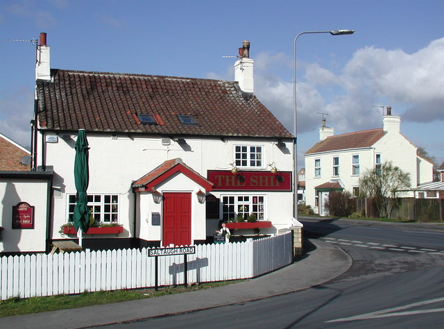
English: The Ship, Keyingham, East Riding of Yorkshire, England. This unassumingly named pub on the corner of Saltaugh Road and Main Street gets its title from one fleeting moment when the village of Keyingham was of some interest to historians.
|
| Dato | |
| Fonto | From geograph.org.uk |
| Aŭtoro | Paul Glazzard |
| Permeso (Reuzo de la dosiero) |
Creative Commons Attribution Share-alike license 2.0 |
| Atribuite (required by the license) | Paul Glazzard / The Ship, Keyingham / |
| Pozicio de la fotilo | | Tiu cxi bildo kaj pliaj sur OpenStreetMap |
|---|
Permesiloj:

|
This image was taken from the Geograph project collection. See this photograph's page on the Geograph website for the photographer's contact details. The copyright on this image is owned by Paul Glazzard and is licensed for reuse under the Creative Commons Attribution-ShareAlike 2.0 license.
|
- Vi rajtas:
- kunhavigi – kopii, distribui kaj publikigi la verkon
- aliigi – modifi, adapti, kompletigi, transformi, uzi la tutan verkon aŭ ties partojn, memstare aŭ en aliaj verkoj
- La verko rajtas esti kunhavigata nur:
- atribuite – Vi devas atribui aŭtorecon, liveri ligilon al la permesilo kaj marki ĉu ŝanĝoj estis faritaj. Faru tion en aprobinda maniero, tamen ne sugestante, ke permesinto aprobas vin aŭ vian uzon.
- samkondiĉe – Se vi rekombinas la verkon, transformas ĝin aŭ kreas devenaĵon bazitan sur ĝi, vi rajtas distribui la rezultan verkon nur laŭ la sama aŭ kongrua permesilo kompare kun ĉi tiu.
Dosierhistorio
Alklaku iun daton kaj horon por vidi kiel la dosiero tiam aspektis.
| Dato/Horo | Bildeto | Grandecoj | Uzanto | Komento | |
|---|---|---|---|---|---|
| nun | 19:35, 10 feb. 2010 | | 640 × 474 (81 KB) | Keith D | == {{int:filedesc}} == {{Information |Description={{en|1=The Ship, Keyingham, East Riding of Yorkshire.<br />This unassumingly named pub on the corner of Saltaugh Road and Main Street gets its title from |
Dosiera uzado
Neniu paĝo ligas al ĉi tiu dosiero.
Suma uzado de la dosiero
La jenaj aliaj vikioj utiligas ĉi tiun dosieron:
- Uzado en ang.wikipedia.org
- Uzado en ceb.wikipedia.org
- Uzado en en.wikipedia.org
- Uzado en es.wikipedia.org
- Uzado en fr.wikipedia.org
- Uzado en lld.wikipedia.org
- Uzado en pl.wikipedia.org
- Uzado en sv.wikipedia.org
- Uzado en tr.wikipedia.org
- Uzado en www.wikidata.org