Dosiero:USA West Virginia relief location map.svg

Grando de tiu PNG antaŭprezento de tiu SVGa dosiero: 644 × 599 rastrumeroj. Aliaj distingivoj: 258 × 240 rastrumeroj | 516 × 480 rastrumeroj | 825 × 768 rastrumeroj | 1 100 × 1 024 rastrumeroj | 2 200 × 2 048 rastrumeroj | 1 201 × 1 118 rastrumeroj.
Bildo en pli alta difino (SVG-dosiero, 1 201 × 1 118 rastrumeroj, grandeco de dosiero: 5,84 MB)
| Jen dosiero de la Wikimedia-Komunejo. La priskribo en ties priskriba paĝo estas montrata suben.
|
Resumo
| Priskribo |
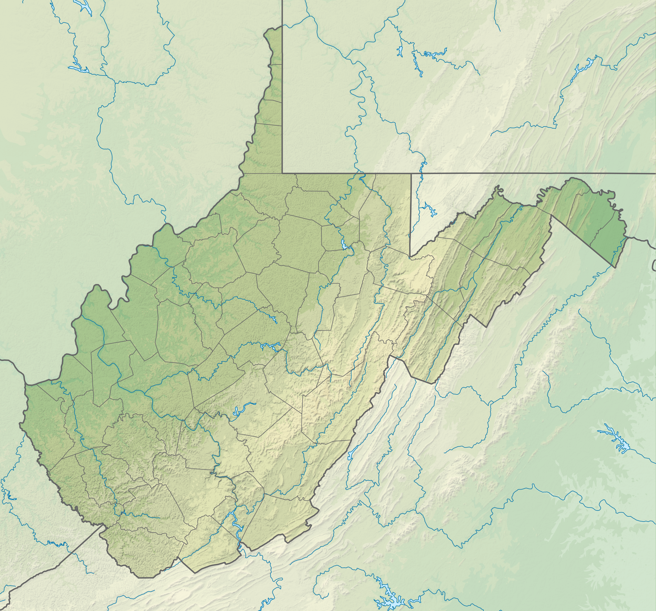
English: Relief location map of West Virginia, USA
Geographic limits of the map:
|
| Dato | |
| Fonto |
Propra verko
|
| Aŭtoro | ikonact |
Permesiloj:
Mi, la posedanto de la aŭtorrajto por ĉi tiu verko, ĉi-maniere publikigas tiun laŭ la jena permesilo:
Ĉi tiu dosiero disponeblas laŭ la permesilo Krea Komunaĵo Atribuite-Samkondiĉe 4.0 Tutmonda.
- Vi rajtas:
- kunhavigi – kopii, distribui kaj publikigi la verkon
- aliigi – modifi, adapti, kompletigi, transformi, uzi la tutan verkon aŭ ties partojn, memstare aŭ en aliaj verkoj
- La verko rajtas esti kunhavigata nur:
- atribuite – Vi devas atribui aŭtorecon, liveri ligilon al la permesilo kaj marki ĉu ŝanĝoj estis faritaj. Faru tion en aprobinda maniero, tamen ne sugestante, ke permesinto aprobas vin aŭ vian uzon.
- samkondiĉe – Se vi rekombinas la verkon, transformas ĝin aŭ kreas devenaĵon bazitan sur ĝi, vi rajtas distribui la rezultan verkon nur laŭ la sama aŭ kongrua permesilo kompare kun ĉi tiu.
Dosierhistorio
Alklaku iun daton kaj horon por vidi kiel la dosiero tiam aspektis.
| Dato/Horo | Bildeto | Grandecoj | Uzanto | Komento | |
|---|---|---|---|---|---|
| nun | 14:18, 3 feb. 2022 | | 1 201 × 1 118 (5,84 MB) | Ikonact | =={{int:filedesc}}== {{Information |description={{en|1=Relief location map of {{W|West Virginia}}, {{W|USA}} Geographic limits of the map: * N: 40.8° N * S: 37.0° N * W: 82.8° W * E: 77.5° W}} |date=2022-02-03 |source={{own}} *Based on File:USA West Virginia location map.svg *Public domain SRTM3 |author=ikonact |permission= |other versions= }} =={{int:license-header}}== {{self|cc-by-sa-4.0}} Category:Location maps of West Virginia Category:Maps of West Virginia |
Dosiera uzado
La jenaj paĝoj ligas al ĉi tiu dosiero:
Suma uzado de la dosiero
La jenaj aliaj vikioj utiligas ĉi tiun dosieron:
- Uzado en de.wikipedia.org
- Uzado en en.wikipedia.org
- Charleston, West Virginia
- Huntington, West Virginia
- Martinsburg, West Virginia
- Newell, West Virginia
- Clarksburg, West Virginia
- Fairmont, West Virginia
- Bluefield, West Virginia
- Cheat Lake, West Virginia
- Morgantown, West Virginia
- Teays Valley, West Virginia
- Beckley, West Virginia
- Parkersburg, West Virginia
- Weirton, West Virginia
- Wheeling, West Virginia
- Backbone Mountain
- Dolly Sods Wilderness
- Milan Puskar Stadium
- Battle of Greenbrier River
- WesBanco Arena
- Cacapon River
- Jennings Randolph Lake
- New River Gorge National Park and Preserve
- Harpers Ferry National Historical Park
- Bald Knob (West Virginia)
- Cass Scenic Railroad State Park
- Raleigh County Memorial Airport
- Greenbrier Valley Airport
- Mid-Ohio Valley Regional Airport
- Bear Rocks Preserve
- Cranberry Glades
- Birch River (West Virginia)
- Fairfax Stone Historical Monument State Park
- Sleepy Creek
- Edwards Run Wildlife Management Area
- Fort Mill Ridge Wildlife Management Area
- Nathaniel Mountain Wildlife Management Area
- Short Mountain Wildlife Management Area
- Trout Pond
- Mount Storm Lake
- Beech Fork Lake
- Meadow Branch
- Sleepy Creek Lake
- Mill Creek Mountain
- Sleepy Creek Mountain
Vidi plian ĝeneralan uzadon de ĉi tiu dosiero.